 Tools
Tools Tools
Tools


Smyth, Nathaniel (1883) Map of the City of Liverpool with the public Houses, beer-shops, Grocers, Confectioners and other Licences Marked Thereon. Liverpool Popular Control and Sunday Closing Association, Liverpool.
![[thumbnail of Low resolution scan of the original map]](https://clok.uclan.ac.uk/id/eprint/10821/1/liverpool_map_comb.jpg "Low resolution scan of the original map") 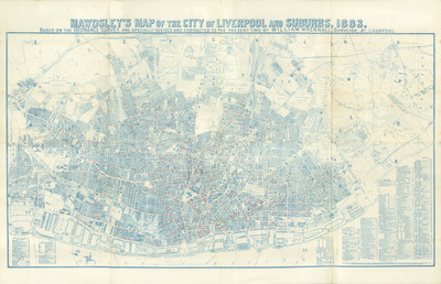 Preview |
Image (JPEG) (Low resolution scan of the original map)
- Published Version
Available under License Creative Commons Attribution. 15MB |
Preview |
Image (TIFF) (High resolution scan of the original map)
- Published Version
Available under License Creative Commons Attribution Non-commercial No Derivatives. 127MB |
Abstract
The accompanying Map (printed from the plates of Messers. Mawdsley) is prepared in order that, at a glance, may be sseen the number of Drinking Places existing in the City of Liverpool, and thus present an argument in favour of their reduction.
Repository Staff Only: item control page